PsychNewsDaily Publishers
100 Summit Drive
Burlington, MA, 01803
Telephone: (320) 349-2484
PsychNewsDaily Publishers
100 Summit Drive
Burlington, MA, 01803
Telephone: (320) 349-2484

Urban analysis utilizes street view images and AI to reveal city features, enhancing urban planning by identifying elements like greenery, walkability, and neighborhood dynamics.
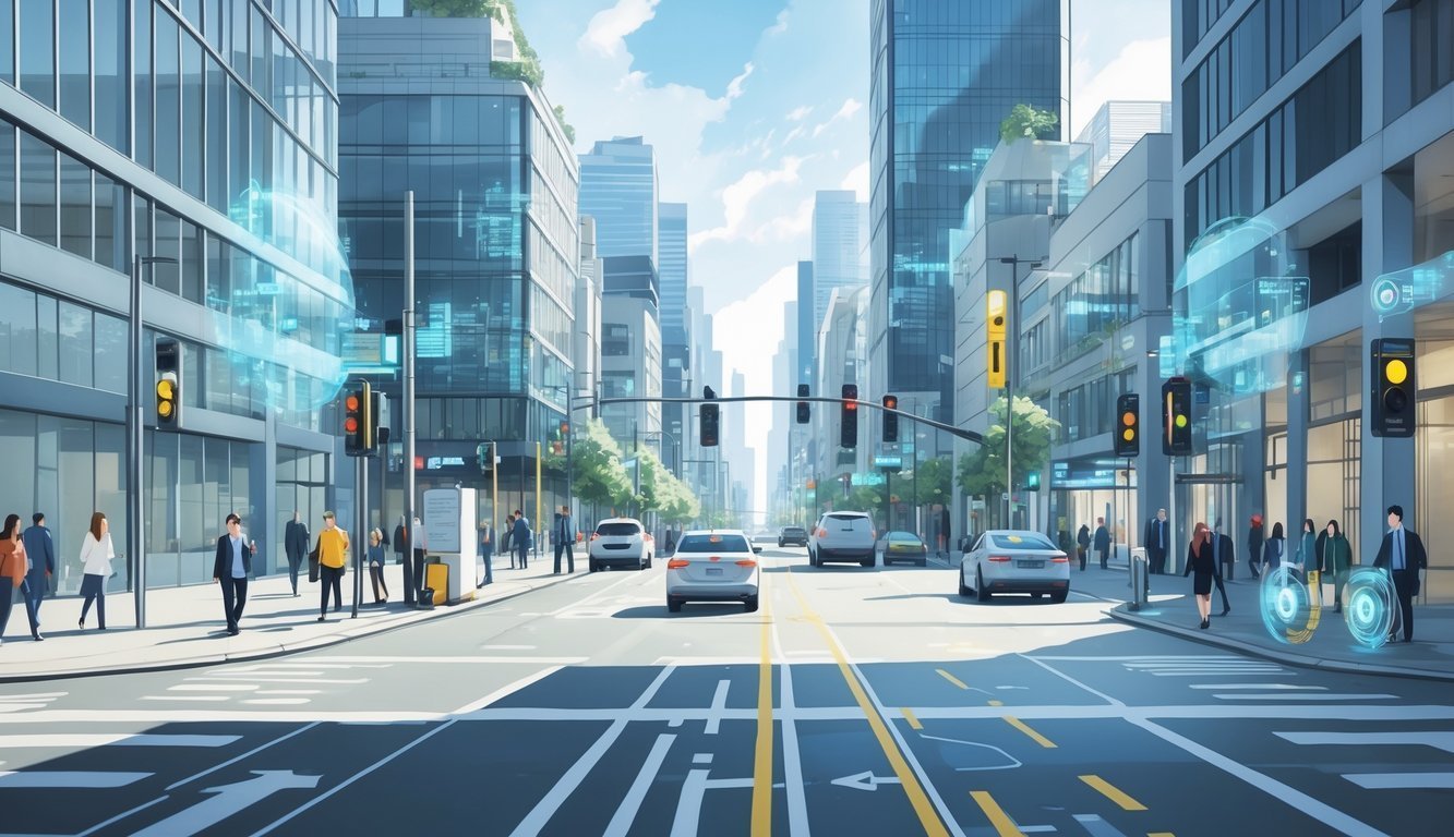
Urban visual intelligence digs into street view images to uncover details about cities that you’d never spot from above. By sifting through millions of street-level photos, this tech uncovers hidden gems like trees, sidewalks, and the quirky styles of buildings. You end up with a much clearer sense of how urban spaces actually look and feel day-to-day.
With smart computer models, you get to explore city traits that really shape your life—think green spaces or just how walkable a street feels. These insights can help improve city planning, making neighborhoods safer, greener, and honestly, just nicer to be in.
Street view images add a fresh, almost personal perspective that highlights what actually matters to the people living and working there.
Urban visual intelligence helps you get to know cities by looking at images snapped from the street. It relies on smart tools to spot things like signs, trees, and buildings.
You get a real sense of how neighborhoods look and work.
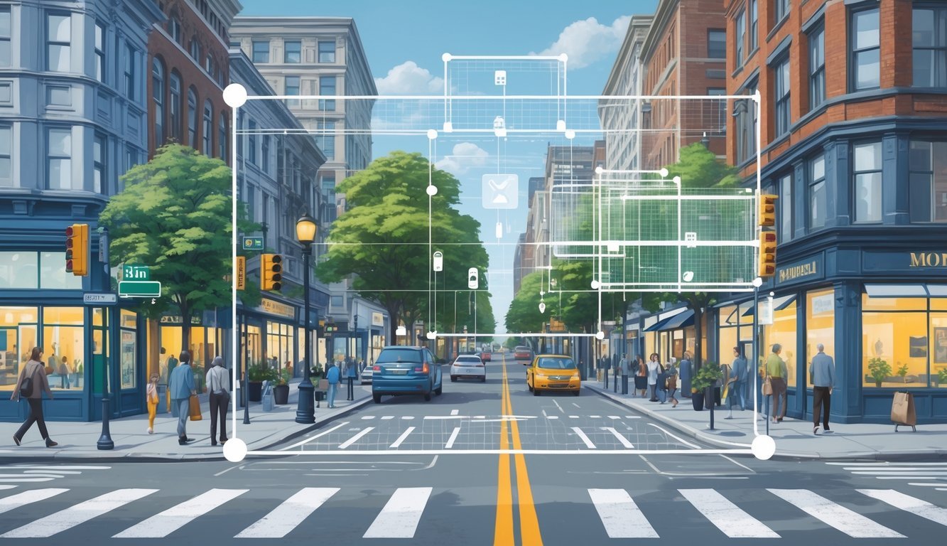
Artificial intelligence and computer vision team up to study street view images. AI can spot objects—cars, trees, street signs—in these pictures.
Computer vision teaches the AI to read shapes, colors, and patterns.
These systems zoom through millions of images to spot trends. For example, they can count how many trees line a street or check building heights.
You can see how neighborhoods change, all without leaving your chair.
Visual cues—things like streetlights, crosswalks, benches, or even graffiti—tell you a lot about a place. They help AI figure out the safety, vibe, or style of a neighborhood.
Well-kept sidewalks and lots of greenery? That usually hints at a peaceful area.
Busy streets with tons of signs? Probably a lot of action there.
By focusing on these visual cues, you get a sharper look at what makes each neighborhood stand out.
Visual representations help you see how cities really differ. Trees, building shapes, and street signs all add up to a unique “fingerprint” for each area.
Some places have wide, tree-lined streets; others squeeze in narrow, busy roads packed with shops.
AI sorts out these styles by scanning the images. It can even predict which spots could use more green space or safer walkways.
That’s a big help for city planners—and for you, if you’re curious about your neighborhood.
You can use images and AI to get a better grip on how city spaces work. These tools reveal how buildings, streets, and public areas really get used.
They open up new ways to plan smarter and make urban projects more effective.
Google Street View and Maps offer a goldmine of real-world photos and data. You can use them to check out the condition of buildings, sidewalks, and even street furniture.
This lets you see how spaces get used every day, no travel required.
By digging into these images, you can spot things like poor lighting or missing greenery. It’s way easier to plan improvements that actually fix what’s needed.
You can also track changes over time and see how new projects shape neighborhoods.
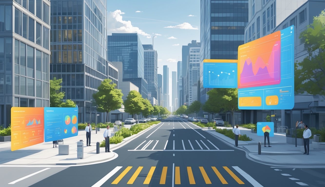
Large language models (LLMs) help you make sense of complex visual data from city images. When you pair them with photos, these models can describe building styles, materials, and uses.
You get a clearer, more detailed read on the urban landscape.
LLMs sort through tons of image descriptions fast. They spot patterns in city design that you might miss at first.
With these insights, you can plan projects that truly fit your community’s character and needs.
In research or editorial work, street view photos and visual data add strong evidence. They show real urban features and back up your points with actual examples.
You can include these images in reports, articles, or presentations.
This visual proof helps readers grasp tricky urban problems. It also makes your work more engaging and trustworthy.
Sometimes, images just say things words can’t.
Street view images give you detailed looks at city streets and help you gather info on urban features. You can use this data to better understand how cities tick and make smarter planning choices.
You can use street view images to check out real conditions—building types, road quality, and public spaces. This helps you spot needs like more sidewalks or green areas.
These images also make it easier to catch problems, like traffic jams or dangerous crossings. Using this data leads to safer, more efficient streets.
AI models now recognize objects and patterns in street view images way better than before. They can automatically spot trees, cars, signs, and building conditions.
Now, these models combine image data with maps and sensors. That means you get more accurate, detailed insights about cities.
You need to watch out for faces and license plates in street view images. Most systems blur or remove this info to protect privacy.
Using aggregated or anonymized data lowers the risks, but you still need to follow local laws when working with these images.
By looking at images from different neighborhoods, you can spot changes over time. You might notice new buildings, more traffic, or shifts in greenery.
It also highlights differences between areas, so you can plan services that actually match each neighborhood’s needs.
Absolutely. These images help you find places missing green spaces or bike lanes.
You can focus on adding features that cut pollution and make walking or cycling easier.
Tracking street conditions over time also helps you see how well sustainability efforts are working.
AI-powered computer vision tools spot and sort features in images. They rely on techniques like object detection, segmentation, and pattern recognition.
When you combine images with GPS data, you can tie urban features to precise locations. Updating the data regularly helps keep everything accurate and up to date.